Aerial Imagery and Mapping
Using unmanned aerial systems, photogrammetry software, and high-quality GPS measurement equipment, DD&A provides high-resolution, geo-referenced aerial imagery for any size project.
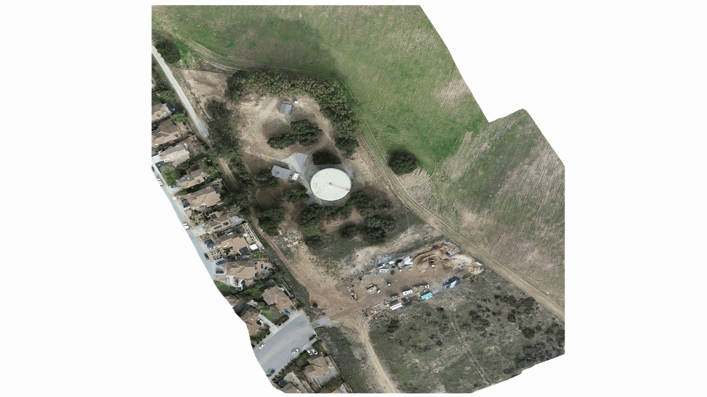
Orthomosaic (High-Resolution RGB) Imagery
Multispectral Imagery
Normalized Difference Vegetation Index (NDVI) Imagery
3-Dimensional Modeling
Raw Elevation Values (DEM)
Near Infrared (NIR) Imagery
Point Clouds